
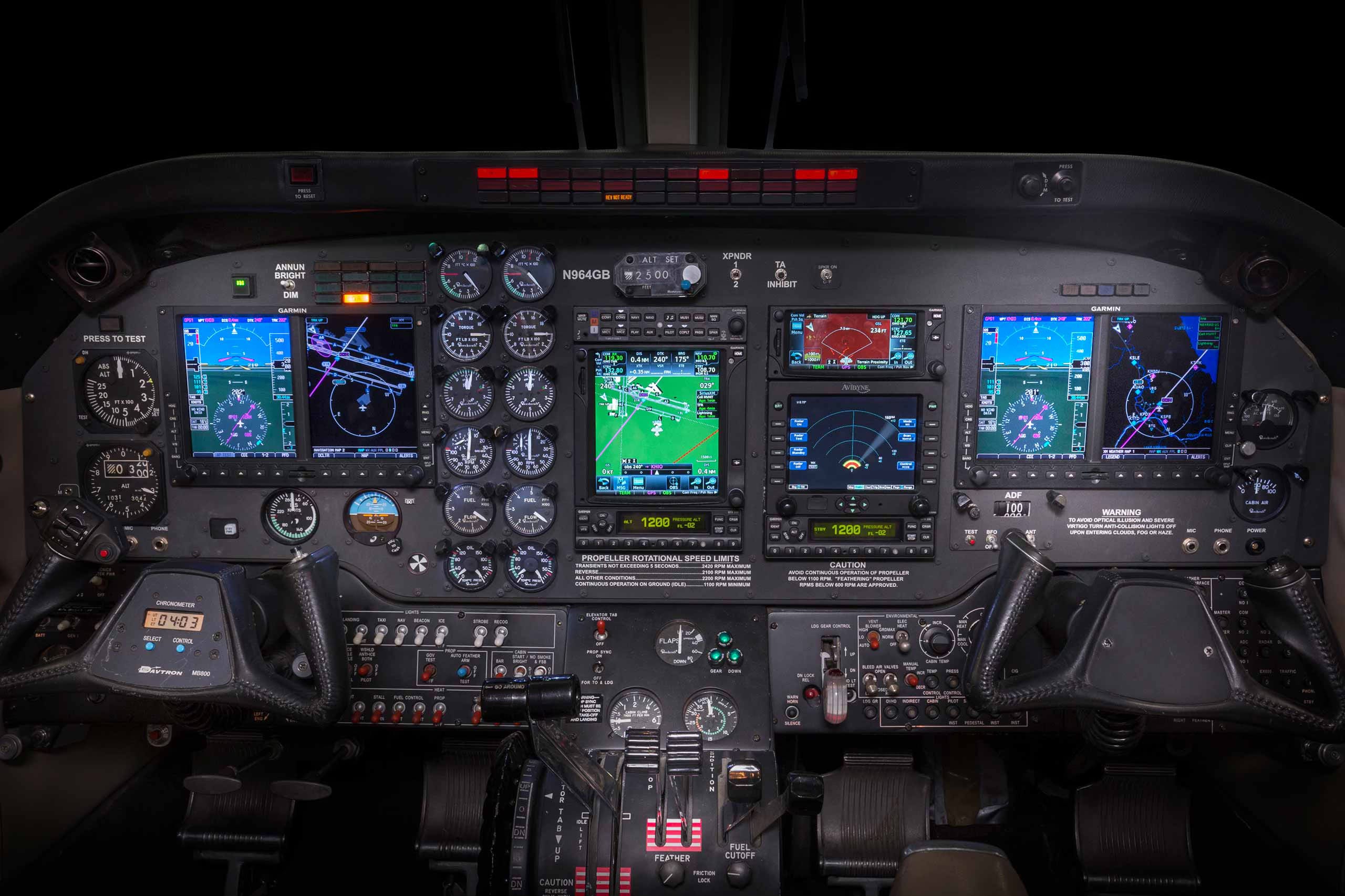
Avionic Systems During Flight
How avionic systems use algorithms and models to account for Earth's curvature.

What are avionic systems?
Avionic systems are sophisticated suites of electronic technologies used in the operation and management of aircraft. By integrating data from various sensors and sources, avionic systems assist pilots in making informed decisions, managing flight operations, and responding to dynamic conditions. It is also claimed that these systems implicitly account for the curvature of Earth. In this article, I list important points about this process.
Flight Management System (FMS)
Navigation Calculations: The FMS uses various a combination of algorithms, spherical trigonometry, and geodetic models to compute the aircraft's position and trajectory.
Route Planning: When planning a flight path, the FMS calculates routes, including great-circle routes, which are the shortest distance between two points on a sphere. Calculations for waypoints, airways, and intersections are based on spherical or ellipsoidal models.
Altitude Management
Barometric Altimeter: Measures altitude based on atmospheric pressure relative to sea level, which uses standard atmospheric pressure models. It’s calibrated to read altitude above sea level and doesn't directly account for Earth's curvature, but it ensures that altitude is maintained consistently relative to the surface.
Pressure Settings: During a flight, the altimeter settings are adjusted according to the standard pressure at sea level (QNH) and the flight level pressure settings (QFE) to provide altitude readings. This ensures that the aircraft maintains the correct altitude relative to the sea level/surface. Adjustments for altimeter settings are based on geodetic models to maintain consistent altitude.
Inertial Navigation System (INS)
Gyroscopic Sensors: The INS uses gyroscopes and accelerometers to measure the aircraft’s movement and orientation. It integrates these measurements to provide navigation data.
Integration & GPS: The INS is often combined with GPS data to correct any discrepancies and provide precise positioning.
Some common discrepancies that are corrected include:Bias & Drift Error: Over time, small inaccuracies in the accelerometer and gyroscope measurements cause a drift error, incorrect angular measurements or readings of acceleration forces. GPS data is used to realign and correct drift and adjust for biases.
Sensor Calibration Errors: Variations in sensor performance due to temperature changes, aging, or manufacturing imperfections can introduce errors in INS measurements. Again, GPS data is introduced to validate and adjust the INS readings.
Global Positioning System (GPS)
Geodetic Models: GPS systems use geodetic models of the Earth to provide location data. The GPS coordinates are based on an ellipsoid model of the Earth.
Flight Director and Autopilot Systems
Flight Path Management: The flight director and autopilot systems use data from the FMS and INS, which are, in turn, relying on and being corrected to GPS to manage the aircraft's flight path. These systems are designed to automatically adjust the aircraft’s pitch and roll to follow the planned trajectory according to the models of Earth used by GPS that were mentioned above.
Altitude Maintenance: The autopilot system maintains the aircraft’s altitude by adjusting pitch and power settings based on data from the barometric altimeter and other sensors. It ensures the aircraft remains at the desired altitude relative to sea level, but doesn’t directly account for any curvature.
Conclusion
Observing the facts above, it’s clear that the algorithms and technologies in use within avionic systems are relying heavily on GPS data, which relies on ellipsoidal models of Earth. As I’ve already covered in an article about surveying, ellipsoid models are derived from and corrected to horizontal datums, which themselves are initially derived from plane survey data. The models are just that: models. They’re created using plane survey data, geometry, and trigonometry.