

What is it?
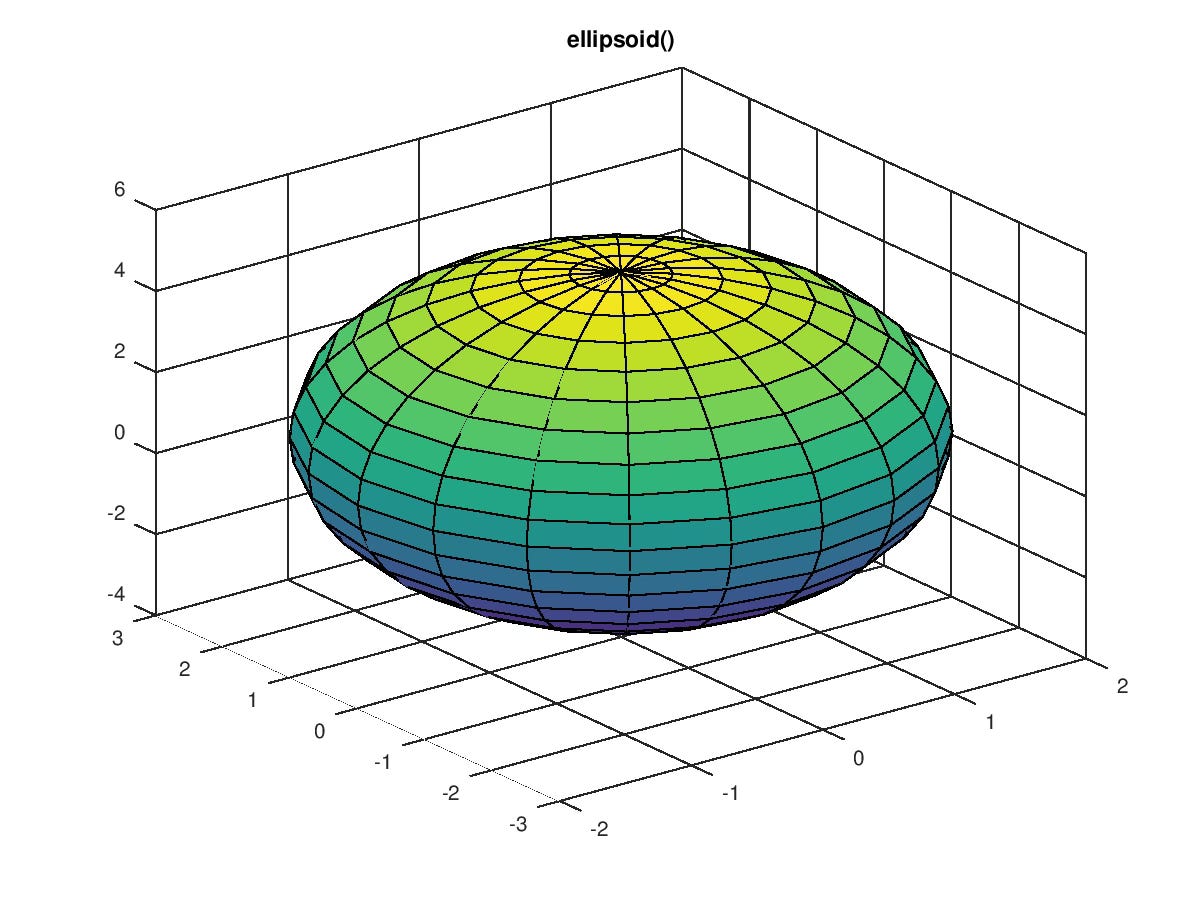
An ellipsoid model is a theoretical, mathematical representation of the Earth's shape, approximating its smooth, rounded form. Unlike a perfect sphere, an ellipsoid is elongated along its equator and flattened at its poles. Defined by its semi-major axis (the equatorial radius) and flattening (a measure of how much the poles are compressed), the ellipsoid serves as a fundamental reference for geodetic measurements and mapping, providing a standardized framework for depicting locations and distances. Ellipsoid models are created from plane survey data. Here’s a high-level overview of the process:
Collecting Survey Data
Survey data typically includes measurements of distances, angles, and elevations across various points on the Earth's surface. This data is collected through various means such as GPS, total stations, or leveling instruments.
Data Transformation
Since the raw survey data is often collected in a local coordinate system – usually a plane – it needs to be transformed into a global coordinate system by converting plane coordinates to geographic coordinates. This is accomplished by using transformations, like Helmert transformations, to convert plane coordinates (usually Cartesian coordinates) to geographic coordinates (latitude, longitude).
Ellipsoid Parameters Determination
An ellipsoid is defined by two primary parameters:
Semi-Major Axis: The longest radius of the ellipsoid.
Flattening: A measure of how much the ellipsoid is "squished" at the poles compared to the equator.
To determine these parameters, survey data is used to fit the ellipsoid to the Earth's surface. There are two common methods:
Geodetic Observation Method:
Uses least squares fitting, the ellipsoid parameters are adjusted to minimize the difference between the observed data and the predicted data from the ellipsoid.
Empirical Method:
Uses historical geodetic measurements and observations. Historical ellipsoid models (like WGS84 or GRS80) were derived from a combination of astronomical, geodetic, and satellite data, and they are adjusted to fit empirical data.
Validation
Models are then validated by comparing the fitted ellipsoid to additional survey data or known reference points. This essentially maps the ellipsoid to the Earth’s surface in the context of the collected data.
Final Model Specification
Once the parameters are refined, the ellipsoid is mathematically defined by its semi-major axis and flattening. These parameters are subsequently used in geodetic and mapping systems to represent the Earth's surface.
Conclusion
In essence, the mathematical creation of an ellipsoid from plane survey data involves transforming the data into a global coordinate system, fitting an ellipsoid to the transformed data, and refining the parameters using statistical methods. It’s a complex system of mapping the theoretical, mathematical ellipsoid to points on Earth, which are initially determined via plane surveying.